
Nyakisharara topographic map
Interactive map
Click on the map to display elevation.
About this map
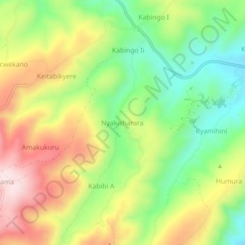
Name: Nyakisharara topographic map, elevation, terrain.
Location: Nyakisharara, Isingiro, Western Region, Uganda (-0.80849 30.75564 -0.76849 30.79564)
Average elevation: 1,517 m
Minimum elevation: 1,317 m
Maximum elevation: 1,761 m
Other topographic maps
Click on a map to view its topography, its elevation and its terrain.