
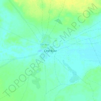
El Buur topographic map
Interactive map
Click on the map to display elevation.
About this map
Name: El Buur topographic map, elevation, terrain.
Location: El Buur, El Buur District, Galgaduud, Galmudug, Somalia (4.64153 46.58342 4.72153 46.66342)
Average elevation: 153 m
Minimum elevation: 147 m
Maximum elevation: 163 m
Other topographic maps
Click on a map to view its topography, its elevation and its terrain.
Derri
Somalia > Galgaduud > El Buur District
Derri, El Buur District, Galgaduud, Galmudug, Somalia
Average elevation: 136 m