
Kalisz County topographic map
Interactive map
Click on the map to display elevation.
About this map
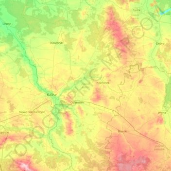
Name: Kalisz County topographic map, elevation, terrain.
Location: Kalisz County, Greater Poland Voivodeship, Poland (51.53289 17.93405 52.04553 18.48172)
Average elevation: 132 m
Minimum elevation: 66 m
Maximum elevation: 228 m
Other topographic maps
Click on a map to view its topography, its elevation and its terrain.