
Montemorelos topographic map
Interactive map
Click on the map to display elevation.
About this map
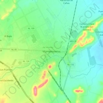
Name: Montemorelos topographic map, elevation, terrain.
Location: Montemorelos, Nuevo León, 67530, México (25.14866 -99.86935 25.22866 -99.78935)
Average elevation: 418 m
Minimum elevation: 376 m
Maximum elevation: 522 m
Other topographic maps
Click on a map to view its topography, its elevation and its terrain.
Campestre las Huertas
México > Nuevo León > Montemorelos
Campestre las Huertas, Montemorelos, Nuevo León, 67500, México
Average elevation: 473 m