
المثاليت topographic map
Interactive map
Click on the map to display elevation.
About this map
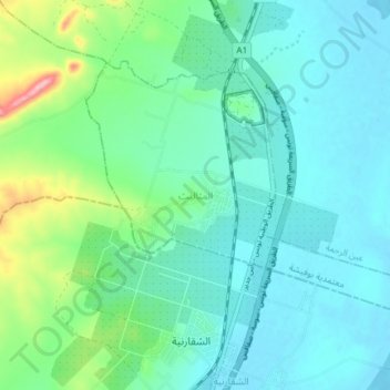
Name: المثاليت topographic map, elevation, terrain.
Location: المثاليت, بوفيشة, Sousse, Tunisia (36.17039 10.39316 36.21175 10.46758)
Average elevation: 31 m
Minimum elevation: -3 m
Maximum elevation: 150 m
Other topographic maps
Click on a map to view its topography, its elevation and its terrain.