Geolocate

Goghat topographic map

Click on the map to display elevation.

About this map

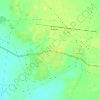
Name: Goghat topographic map, elevation, terrain.

Location: Goghat, Goghat - I, Hooghly, West Bengal, 712614, India (22.86931 87.68624 22.90931 87.72624)

Average elevation: 22 m

Minimum elevation: 12 m

Maximum elevation: 28 m

Gear up for your next adventure:

📱Rugged Phone Cases - Heavy-duty protection for smartphones used as secondary GPS tools
🎒Backpack Rain Covers - Universal waterproof covers to protect your gear from downpours
🚲Cycling GPS Computers - Track elevation and topographic routes on two wheels
🧊Personal Water Filters - Drink safely from mountain streams marked on your map
🥾Hiking Boot Waterproofing Wax - Maintain the lifespan of your leather trekking boots

As an Amazon Associate, this site earns from qualifying purchases at no extra cost to you.