
Marietta topographic map
Interactive map
Click on the map to display elevation.
About this map
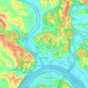
Name: Marietta topographic map, elevation, terrain.
Location: Marietta, Washington County, Ohio, 45750, United States (39.39764 -81.49748 39.45923 -81.40193)
Average elevation: 215 m
Minimum elevation: 180 m
Maximum elevation: 296 m
Other topographic maps
Click on a map to view its topography, its elevation and its terrain.