
Pinaglabanan topographic map
Click on the map to display elevation.
About this map
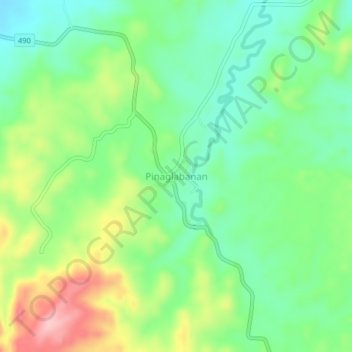
Name: Pinaglabanan topographic map, elevation, terrain.
Location: Pinaglabanan, Palawan, Mimaropa, Philippines (9.19059 118.02312 9.23059 118.06312)
Average elevation: 86 m
Minimum elevation: 26 m
Maximum elevation: 194 m
Other topographic maps
Click on a map to view its topography, its elevation and its terrain.
Cuyo
Cuyo Island is the largest island of the Cuyo Archipelago, about 13 kilometres (8.1 mi) long, 7.5 kilometres (4.7 mi) wide, and with an area of 57 square kilometres (22 sq mi). Mount Bonbon with an elevation of 817 ft (249 m) is the highest mountain in Cuyo island. The Island is under the jurisdiction of the…
Average elevation: 0 m