
本町 topographic map
Interactive map
Click on the map to display elevation.
About this map
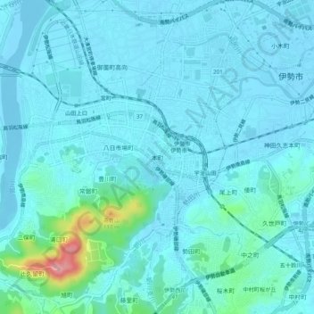
Name: 本町 topographic map, elevation, terrain.
Location: 本町, Ise, Mie Prefecture, 516-0074, Japan (34.46920 136.68654 34.50920 136.72654)
Average elevation: 15 m
Minimum elevation: -5 m
Maximum elevation: 129 m