
Aunglan Township topographic map
Interactive map
Click on the map to display elevation.
About this map
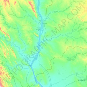
Name: Aunglan Township topographic map, elevation, terrain.
Location: Aunglan Township, Thayet District, Magway, 04151, Myanmar (18.93026 95.11081 19.48297 95.85919)
Average elevation: 115 m
Minimum elevation: 16 m
Maximum elevation: 627 m
Other topographic maps
Click on a map to view its topography, its elevation and its terrain.
Thanat
Myanmar > Magway > Thayet District > Aunglan Township > Thanat
Thanat, Aunglan Township, Thayet District, Magway, Myanmar
Average elevation: 104 m