
Samine topographic map
Interactive map
Click on the map to display elevation.
About this map
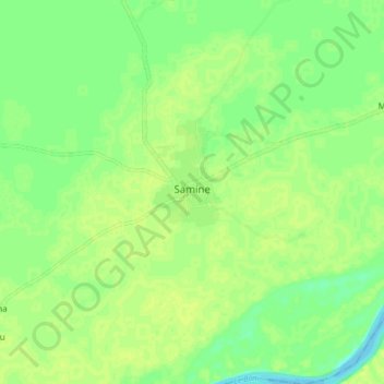
Name: Samine topographic map, elevation, terrain.
Location: Samine, Cercle de Baraouéli, Ségou, Mali (13.09461 -6.12247 13.17461 -6.04247)
Average elevation: 283 m
Minimum elevation: 274 m
Maximum elevation: 288 m
Other topographic maps
Click on a map to view its topography, its elevation and its terrain.