
Samine topographic map
Interactive map
Click on the map to display elevation.
About this map
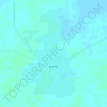
Name: Samine topographic map, elevation, terrain.
Location: Samine, Cercle de Baraouéli, Ségou, Mali (13.12741 -6.09102 13.14994 -6.07657)
Average elevation: 284 m
Minimum elevation: 282 m
Maximum elevation: 287 m
Other topographic maps
Click on a map to view its topography, its elevation and its terrain.