
田尻町 topographic map
Interactive map
Click on the map to display elevation.
About this map
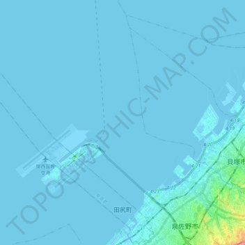
Name: 田尻町 topographic map, elevation, terrain.
Location: 田尻町, 泉南郡, 大阪府, 549-0011, 日本 (34.38334 135.13772 34.52833 135.30038)
Average elevation: 3 m
Minimum elevation: -9 m
Maximum elevation: 114 m
Other topographic maps
Click on a map to view its topography, its elevation and its terrain.