
Ilsanseo-gu topographic map
Interactive map
Click on the map to display elevation.
About this map
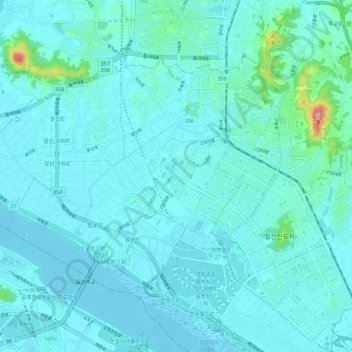
Name: Ilsanseo-gu topographic map, elevation, terrain.
Location: Ilsanseo-gu, Goyang-si, Gyeonggi, South Korea (37.64752 126.67039 37.70729 126.78118)
Average elevation: 20 m
Minimum elevation: -16 m
Maximum elevation: 208 m
Other topographic maps
Click on a map to view its topography, its elevation and its terrain.