
Bangoulap topographic map
Interactive map
Click on the map to display elevation.
About this map
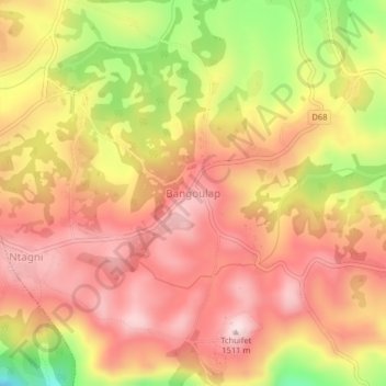
Name: Bangoulap topographic map, elevation, terrain.
Location: Bangoulap, Bangangté, Ndé, West, Cameroon (5.07564 10.50689 5.11564 10.54689)
Average elevation: 1,366 m
Minimum elevation: 1,137 m
Maximum elevation: 1,499 m
Other topographic maps
Click on a map to view its topography, its elevation and its terrain.