
Ngou topographic map
Interactive map
Click on the map to display elevation.
About this map
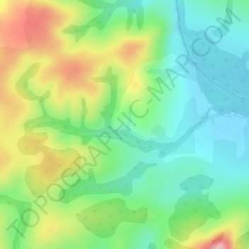
Name: Ngou topographic map, elevation, terrain.
Location: Ngou, Bangangté, Ndé, West, Cameroon (5.12711 10.73920 5.13292 10.76203)
Average elevation: 869 m
Minimum elevation: 802 m
Maximum elevation: 973 m
Other topographic maps
Click on a map to view its topography, its elevation and its terrain.