
Bani Mansour topographic map
Interactive map
Click on the map to display elevation.
About this map
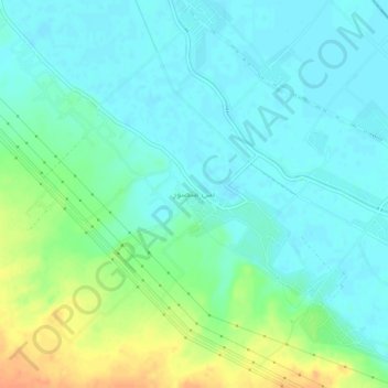
Name: Bani Mansour topographic map, elevation, terrain.
Location: Bani Mansour, New Valley, Egypt (26.17613 31.88685 26.21613 31.92685)
Average elevation: 74 m
Minimum elevation: 63 m
Maximum elevation: 101 m
Other topographic maps
Click on a map to view its topography, its elevation and its terrain.