
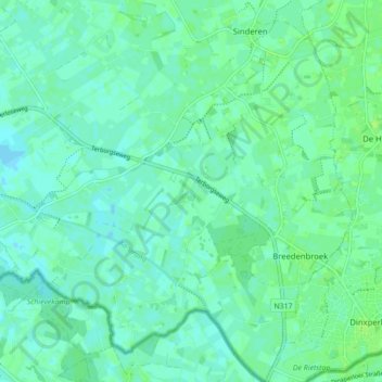
Breedenbroek topographic map
Interactive map
Click on the map to display elevation.
About this map
Name: Breedenbroek topographic map, elevation, terrain.
Location: Breedenbroek, Oude IJsselstreek, Gelderland, Nederland (51.85529 6.40924 51.90903 6.48425)
Average elevation: 18 m
Minimum elevation: 14 m
Maximum elevation: 22 m
Other topographic maps
Click on a map to view its topography, its elevation and its terrain.
Megchelen
Nederland > Gelderland > Oude IJsselstreek
Megchelen, Oude IJsselstreek, Gelderland, Nederland
Average elevation: 16 m
Gendringen
Nederland > Gelderland > Oude IJsselstreek > Gendringen
Gendringen, Oude IJsselstreek, Gelderland, Nederland, 7081, Nederland
Average elevation: 16 m