
1174 topographic map
Interactive map
Click on the map to display elevation.
About this map
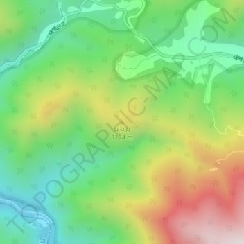
Name: 1174 topographic map, elevation, terrain.
Location: 1174, 태백시, Gangwon, Coreia do Sul (37.11336 128.89726 37.11346 128.89736)
Average elevation: 1,019 m
Minimum elevation: 709 m
Maximum elevation: 1,511 m
Other topographic maps
Click on a map to view its topography, its elevation and its terrain.