
1190 topographic map
Interactive map
Click on the map to display elevation.
About this map
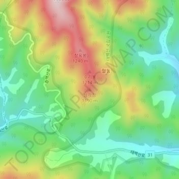
Name: 1190 topographic map, elevation, terrain.
Location: 1190, 태백시, Gangwon, Coreia do Sul (37.12998 128.90493 37.13008 128.90503)
Average elevation: 991 m
Minimum elevation: 814 m
Maximum elevation: 1,271 m
Other topographic maps
Click on a map to view its topography, its elevation and its terrain.