
East Bernstadt topographic map
Interactive map
Click on the map to display elevation.
About this map
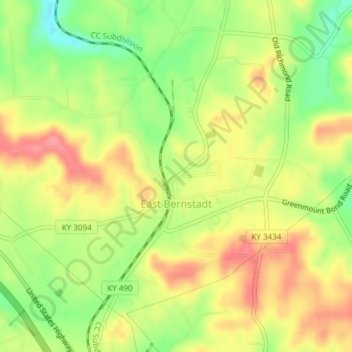
Name: East Bernstadt topographic map, elevation, terrain.
Location: East Bernstadt, Laurel County, Kentucky, United States (37.17927 -84.14323 37.20445 -84.10559)
Average elevation: 367 m
Minimum elevation: 320 m
Maximum elevation: 407 m
Other topographic maps
Click on a map to view its topography, its elevation and its terrain.