
Mansfield Court topographic map
Interactive map
Click on the map to display elevation.
About this map
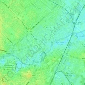
Name: Mansfield Court topographic map, elevation, terrain.
Average elevation: 12 m
Minimum elevation: 4 m
Maximum elevation: 21 m
England trails, hiking, mountain biking, running and outdoor activities
Other topographic maps
Click on a map to view its topography, its elevation and its terrain.
Cambridge
United Kingdom > England > Cambridge
The city, like most of the UK, has a maritime climate highly influenced by the Gulf Stream. Located in the driest region of Britain, Cambridge's rainfall averages around 570 mm (22.44 in) per year, around half the national average, with some years occasionally falling into the semi-arid (under 500 mm (19.69…
Average elevation: 18 m