
西区 topographic map
Interactive map
Click on the map to display elevation.
About this map
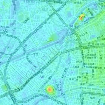
Name: 西区 topographic map, elevation, terrain.
Location: 西区, 大阪市, 大阪府, 日本 (34.66677 135.46187 34.69287 135.49765)
Average elevation: 5 m
Minimum elevation: -3 m
Maximum elevation: 33 m
Other topographic maps
Click on a map to view its topography, its elevation and its terrain.