
Alpurrurulam topographic map
Interactive map
Click on the map to display elevation.
About this map
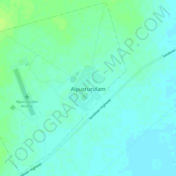
Name: Alpurrurulam topographic map, elevation, terrain.
Location: Alpurrurulam, Barkly Region, Northern Territory, Australia (-21.00296 137.81550 -20.96498 137.85702)
Average elevation: 201 m
Minimum elevation: 196 m
Maximum elevation: 209 m
Other topographic maps
Click on a map to view its topography, its elevation and its terrain.