
Dragomirovo topographic map
Interactive map
Click on the map to display elevation.
About this map
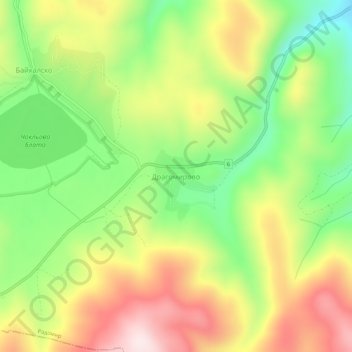
Name: Dragomirovo topographic map, elevation, terrain.
Location: Dragomirovo, Radomir, Pernik, Bulgaria (42.37387 22.82560 42.41387 22.86560)
Average elevation: 926 m
Minimum elevation: 698 m
Maximum elevation: 1,190 m
Other topographic maps
Click on a map to view its topography, its elevation and its terrain.