
1218 topographic map
Interactive map
Click on the map to display elevation.
About this map
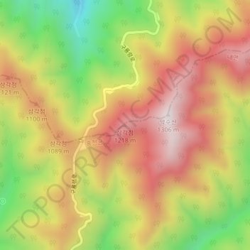
Name: 1218 topographic map, elevation, terrain.
Location: 1218, 양양군, Gangwon, Coreia do Sul (37.88187 128.52029 37.88197 128.52039)
Average elevation: 957 m
Minimum elevation: 562 m
Maximum elevation: 1,283 m
Other topographic maps
Click on a map to view its topography, its elevation and its terrain.