
Putina topographic map
Interactive map
Click on the map to display elevation.
About this map
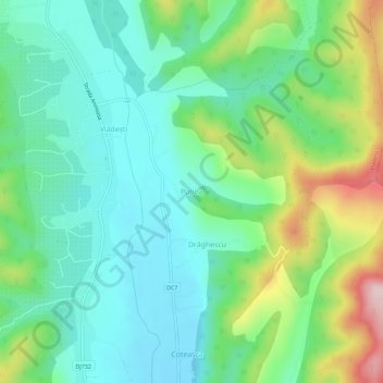
Name: Putina topographic map, elevation, terrain.
Location: Putina, Vlădești, Argeș, 117843, Roménia (45.12745 24.91852 45.16745 24.95852)
Average elevation: 488 m
Minimum elevation: 405 m
Maximum elevation: 691 m
Other topographic maps
Click on a map to view its topography, its elevation and its terrain.