
Camrose topographic map
Interactive map
Click on the map to display elevation.
About this map
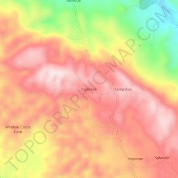
Name: Camrose topographic map, elevation, terrain.
Location: Camrose, Saint James, Cornwall County, Jamaica (18.38908 -77.89781 18.42908 -77.85781)
Average elevation: 386 m
Minimum elevation: 85 m
Maximum elevation: 561 m
Other topographic maps
Click on a map to view its topography, its elevation and its terrain.