
Sankranti topographic map
Interactive map
Click on the map to display elevation.
About this map
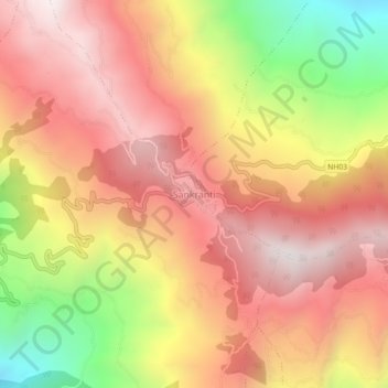
Name: Sankranti topographic map, elevation, terrain.
Location: Sankranti, Aathrai, Tehrathum, Koshi Province, Nepal (27.20039 87.63181 27.24039 87.67181)
Average elevation: 1,734 m
Minimum elevation: 1,017 m
Maximum elevation: 2,195 m
Other topographic maps
Click on a map to view its topography, its elevation and its terrain.
Aathrai
Nepal > Koshi Province > Tehrathum
Aathrai, Tehrathum, Koshi Province, Nepal
Average elevation: 1,186 m
Loktantrik Chok
Nepal > Koshi Province > Tehrathum > Myanglung Bazar
Loktantrik Chok, Myanglung-02, Myanglung Bazar, Myanglung, Tehrathum, Koshi Province, Nepal
Average elevation: 1,343 m