
Žbandaj topographic map
Interactive map
Click on the map to display elevation.
About this map
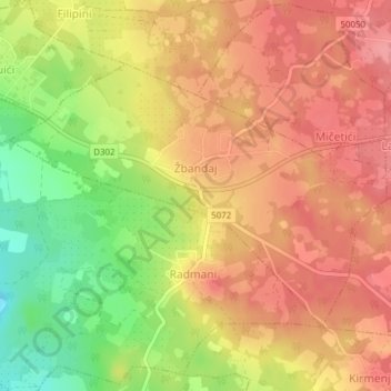
Name: Žbandaj topographic map, elevation, terrain.
Location: Žbandaj, Grad Poreč, Istria County, Croatia (45.19819 13.66531 45.21638 13.70239)
Average elevation: 122 m
Minimum elevation: 66 m
Maximum elevation: 155 m
Other topographic maps
Click on a map to view its topography, its elevation and its terrain.