
Garbina topographic map
Click on the map to display elevation.
About this map
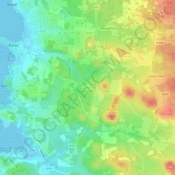
Name: Garbina topographic map, elevation, terrain.
Location: Garbina, Grad Poreč, Istria County, 52440, Croatia (45.19754 13.59972 45.23754 13.63972)
Average elevation: 39 m
Minimum elevation: -4 m
Maximum elevation: 103 m
Other topographic maps
Click on a map to view its topography, its elevation and its terrain.