
Balandougou topographic map
Interactive map
Click on the map to display elevation.
About this map
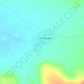
Name: Balandougou topographic map, elevation, terrain.
Location: Balandougou, Cercle de Kita, Kayes, Mali (13.35081 -9.55651 13.35995 -9.54843)
Average elevation: 315 m
Minimum elevation: 303 m
Maximum elevation: 349 m
Other topographic maps
Click on a map to view its topography, its elevation and its terrain.
Balandougou
Mali > Kayes > Balandougou
Balandougou, Cercle de Kita, Kayes, Mali
Average elevation: 322 m