
Balandougou topographic map
Interactive map
Click on the map to display elevation.
About this map
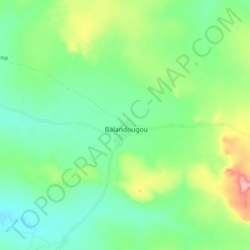
Name: Balandougou topographic map, elevation, terrain.
Location: Balandougou, Cercle de Kita, Kayes, Mali (13.31787 -9.59221 13.39787 -9.51221)
Average elevation: 322 m
Minimum elevation: 282 m
Maximum elevation: 409 m
Other topographic maps
Click on a map to view its topography, its elevation and its terrain.
Balandougou
Mali > Kayes > Balandougou
Balandougou, Cercle de Kita, Kayes, Mali
Average elevation: 315 m