
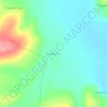
Nyakariro topographic map
Interactive map
Click on the map to display elevation.
About this map
Name: Nyakariro topographic map, elevation, terrain.
Location: Nyakariro, Ntungamo, Western Region, Uganda (-1.05580 30.24182 -1.01580 30.28182)
Average elevation: 1,356 m
Minimum elevation: 1,328 m
Maximum elevation: 1,427 m
Other topographic maps
Click on a map to view its topography, its elevation and its terrain.