
Taman Rekreasi Puncak Jalil topographic map
Interactive map
Click on the map to display elevation.
About this map
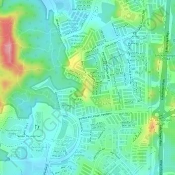
Name: Taman Rekreasi Puncak Jalil topographic map, elevation, terrain.
Average elevation: 74 m
Minimum elevation: 35 m
Maximum elevation: 172 m
Other topographic maps
Click on a map to view its topography, its elevation and its terrain.
Kampung Kuala Sungai Baru
Malaysia > Selangor > Subang Jaya > Kampung Kuala Sungai Baru
Average elevation: 19 m