
观澜街道 topographic map
Interactive map
Click on the map to display elevation.
About this map
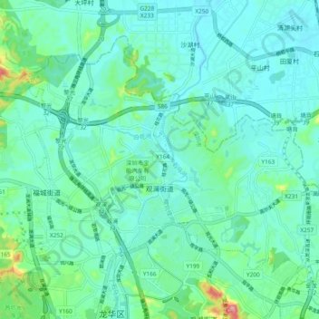
Name: 观澜街道 topographic map, elevation, terrain.
Location: 观澜街道, 龙华区, 深圳市, 广东省, 518110, 中国 (22.70726 114.01525 22.77460 114.10895)
Average elevation: 49 m
Minimum elevation: 21 m
Maximum elevation: 174 m
Other topographic maps
Click on a map to view its topography, its elevation and its terrain.