
福城街道 topographic map
Interactive map
Click on the map to display elevation.
About this map
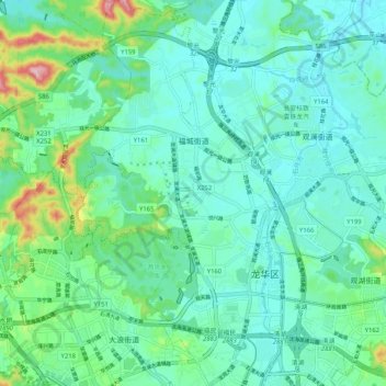
Name: 福城街道 topographic map, elevation, terrain.
Location: 福城街道, 龙华区, 深圳市, 广东省, 518110, 中国 (22.67152 113.97848 22.76683 114.04452)
Average elevation: 72 m
Minimum elevation: 23 m
Maximum elevation: 265 m
Other topographic maps
Click on a map to view its topography, its elevation and its terrain.