
Labbakada topographic map
Interactive map
Click on the map to display elevation.
About this map
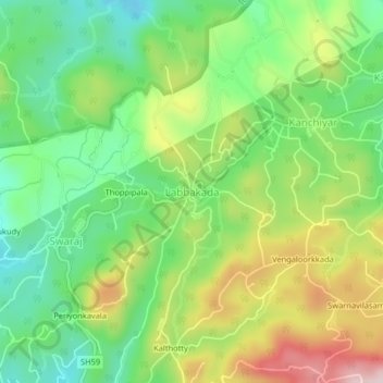
Name: Labbakada topographic map, elevation, terrain.
Location: Labbakada, Idukki, Idukki District, Kerala, 685511, India (9.71800 77.04250 9.75800 77.08250)
Average elevation: 857 m
Minimum elevation: 719 m
Maximum elevation: 1,070 m
Other topographic maps
Click on a map to view its topography, its elevation and its terrain.