
Bieler Höhe topographic map
Interactive map
Click on the map to display elevation.
About this map
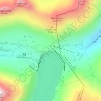
Name: Bieler Höhe topographic map, elevation, terrain.
Average elevation: 2,169 m
Minimum elevation: 1,854 m
Maximum elevation: 2,692 m
Silvretta-Stausee auf der Bielerhöhe, Blick nach Süden
Other topographic maps
Click on a map to view its topography, its elevation and its terrain.
Partenen
Österreich > Vorarlberg > Bezirk Bludenz > Gemeinde Gaschurn
Partenen, Gemeinde Gaschurn, Bezirk Bludenz, Vorarlberg, 6794, Österreich
Average elevation: 1,601 m