
Nieuw-Buinen topographic map
Interactive map
Click on the map to display elevation.
About this map
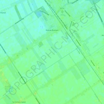
Name: Nieuw-Buinen topographic map, elevation, terrain.
Location: Nieuw-Buinen, Borger-Odoorn, Drenthe, Netherlands (52.92347 6.87576 52.98262 6.97986)
Average elevation: 7 m
Minimum elevation: 2 m
Maximum elevation: 12 m
Other topographic maps
Click on a map to view its topography, its elevation and its terrain.
Zuidbarge
Netherlands > Drenthe > Emmen
Zuidbarge, Emmen, Drenthe, Netherlands, 7825 TS, Netherlands
Average elevation: 20 m
Lhee
Lhee, Dwingeloo, Westerveld, Drenthe, Netherlands, 7991 PK, Netherlands
Average elevation: 11 m
De Kiel
Netherlands > Drenthe > Coevorden
De Kiel, Coevorden, Drenthe, Netherlands
Average elevation: 19 m
Exloo
Netherlands > Drenthe > Borger-Odoorn
Exloo, Borger-Odoorn, Drenthe, Netherlands
Average elevation: 17 m