
Brezovice topographic map
Interactive map
Click on the map to display elevation.
About this map
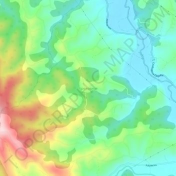
Name: Brezovice topographic map, elevation, terrain.
Average elevation: 240 m
Minimum elevation: 143 m
Maximum elevation: 439 m
Other topographic maps
Click on a map to view its topography, its elevation and its terrain.
Krupanj
Serbia > Central Serbia > Macva Administrative District > Krupanj Municipality
Krupanj, Krupanj Municipality, Macva Administrative District, Central Serbia, 15314, Serbia
Average elevation: 484 m