
West Willoughby topographic map
Interactive map
Click on the map to display elevation.
About this map
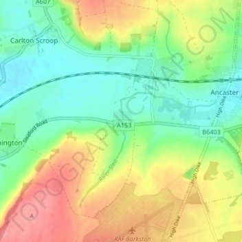
Name: West Willoughby topographic map, elevation, terrain.
Average elevation: 74 m
Minimum elevation: 38 m
Maximum elevation: 125 m
Lincolnshire trails, hiking, mountain biking, running and outdoor activities
Other topographic maps
Click on a map to view its topography, its elevation and its terrain.
Witham on the Hill
United Kingdom > England > Lincolnshire > South Kesteven > Witham on the Hill
Average elevation: 45 m