
Kotha topographic map
Interactive map
Click on the map to display elevation.
About this map
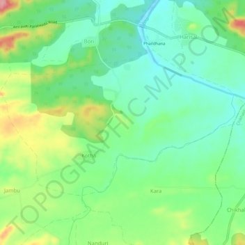
Name: Kotha topographic map, elevation, terrain.
Location: Kotha, Dharni, Amravati, Maharashtra, India (21.50474 77.07180 21.53297 77.12285)
Average elevation: 409 m
Minimum elevation: 367 m
Maximum elevation: 492 m
Other topographic maps
Click on a map to view its topography, its elevation and its terrain.
Dhodra
India > Maharashtra > Dharni
Dhodra, Dharni, Amravati, Maharashtra, India
Average elevation: 404 m