
八尾市 topographic map
Interactive map
Click on the map to display elevation.
About this map
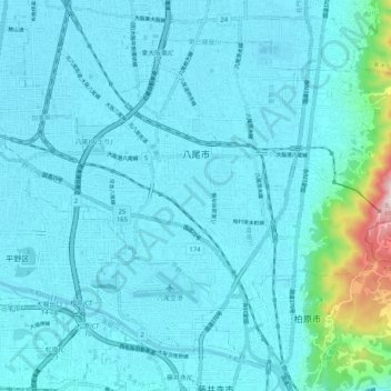
Name: 八尾市 topographic map, elevation, terrain.
Location: 八尾市, 大阪府, 日本 (34.58333 135.56186 34.65078 135.66429)
Average elevation: 43 m
Minimum elevation: 0 m
Maximum elevation: 469 m
Other topographic maps
Click on a map to view its topography, its elevation and its terrain.