
Coll de Comiols topographic map
Interactive map
Click on the map to display elevation.
About this map
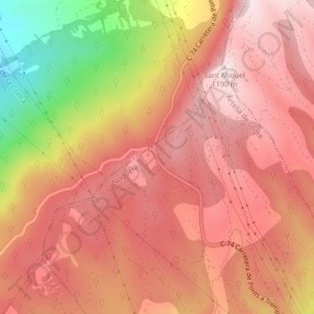
Name: Coll de Comiols topographic map, elevation, terrain.
Average elevation: 1,029 m
Minimum elevation: 694 m
Maximum elevation: 1,192 m
Other topographic maps
Click on a map to view its topography, its elevation and its terrain.
Artesa de Segre
Spanje > Catalonië > Noguera > Artesa de Segre
Artesa de Segre, Noguera, Lerida, Catalonië, 25730, Spanje
Average elevation: 585 m