
Ihlara topographic map
Interactive map
Click on the map to display elevation.
About this map
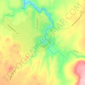
Name: Ihlara topographic map, elevation, terrain.
Location: Ihlara, Güzelyurt, Aksaray, Central Anatolia Region, Turkey (38.21845 34.28647 38.25845 34.32647)
Average elevation: 1,312 m
Minimum elevation: 1,187 m
Maximum elevation: 1,431 m