
Puerto Astún topographic map
Interactive map
Click on the map to display elevation.
About this map
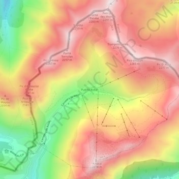
Name: Puerto Astún topographic map, elevation, terrain.
Location: Puerto Astún, Jaca, Jacétanie, Huesca, Aragon, 22889, Espagne (42.78994 -0.52688 42.82994 -0.48688)
Average elevation: 1,947 m
Minimum elevation: 1,432 m
Maximum elevation: 2,302 m
Other topographic maps
Click on a map to view its topography, its elevation and its terrain.