
Kangal topographic map
Interactive map
Click on the map to display elevation.
About this map
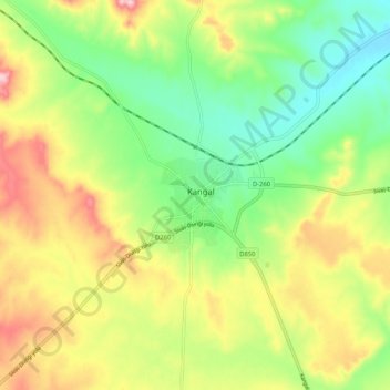
Name: Kangal topographic map, elevation, terrain.
Location: Kangal, Sivas, Central Anatolia Region, 58900, Turkey (39.19483 37.34943 39.27483 37.42943)
Average elevation: 1,560 m
Minimum elevation: 1,472 m
Maximum elevation: 1,681 m