
Al Jabin District topographic map
Interactive map
Click on the map to display elevation.
About this map
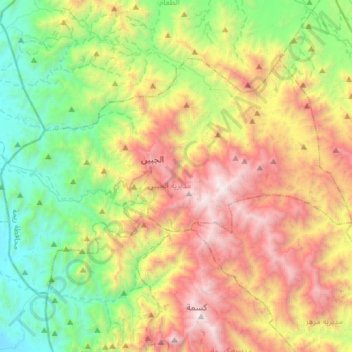
Name: Al Jabin District topographic map, elevation, terrain.
Location: Al Jabin District, Raymah Governorate, Yemen (14.59271 43.46941 14.78717 43.76983)
Average elevation: 1,274 m
Minimum elevation: 214 m
Maximum elevation: 2,905 m
Other topographic maps
Click on a map to view its topography, its elevation and its terrain.