
Buwala topographic map
Interactive map
Click on the map to display elevation.
About this map
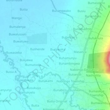
Name: Buwala topographic map, elevation, terrain.
Location: Buwala, Bugisa sub-region, Bulambuli, Eastern Region, Uganda (1.32717 34.27120 1.36717 34.31120)
Average elevation: 1,080 m
Minimum elevation: 1,064 m
Maximum elevation: 1,176 m
Other topographic maps
Click on a map to view its topography, its elevation and its terrain.